
Telangana is the 29th state of India, formed on the 2nd of June 2014 with the city of Hyderabad as its capital. The state has an area of 1,14,840 Sq Km and has a population of 3,52,86,757. The Telangana region was part of the Hyderabad state from Sept 17th 1948 to Nov 1st 1956, until it was merged with Andhra state to form the Andhra Pradesh state. Telangana is bordered by the states of Maharashtra to the north and North west, Chhattisgarh to the North, Odisha to the North east,Karnataka to the west, and Andhra Pradesh to the east and south. Major cities of the state include Hyderabad, Warangal, Nizamabad and Karimnagar.
Telangana acquired its identity as the urdu-speaking region of the princely state of Hyderabad, ruled by the Nizam of Hyderabad [1724-1948], joining the Union of India in 1948. In 1956, the Hyderabad state was dissolved as part of the linguistic reorganisation of states and Telangana was merged with former Andhra State to form Andhra Pradesh. Following a popular movement for separation, it was awarded separate statehood on 2 June 2014. Hyderabad will continue to serve as the joint capital city for Andhra Pradesh and Telangana for a period of not more than ten years.
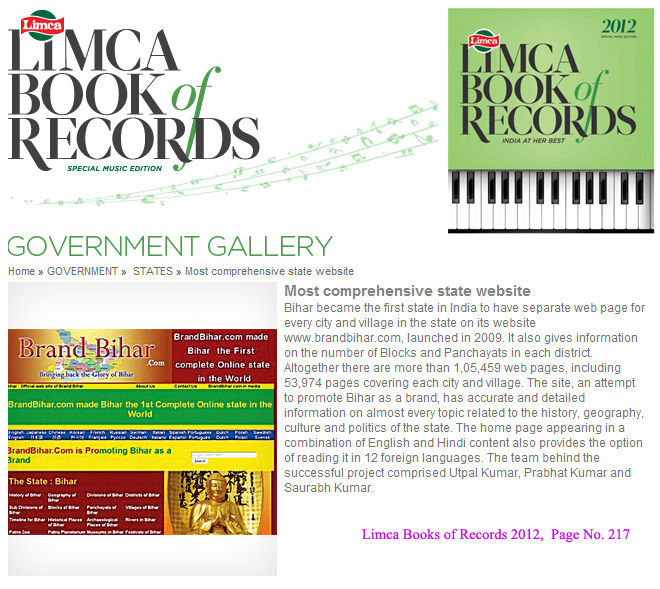
Bihar became the first state in India to have separate web page for every city and village in the state on its website www.brandbihar.com (Now www.brandbharat.com)
See the record in Limca Book of Records 2012 on Page No. 217